
Marietta ZIP Directory Coverage
Marietta's postal geography spreads from the downtown core to wide east, north, and west Cobb mailing areas. The table distinguishes well-supported use from edge cases. It does not claim that each ZIP lies wholly inside the city. Only the city address tool, tax district, city tax bill, or school assignment can resolve jurisdiction for a particular property.
| ZIP Code | Areas Covered | Post Office | Notes |
|---|---|---|---|
| 30060 | Downtown, the Square, central and south-central Marietta, KSU Marietta | Main Post Office, 257 Lawrence St NE | Principal central street ZIP |
| 30061 | Government and other PO Box mailing use | PO Box service | City uses PO Box 609 |
| 30064 | West and southwest, Whitlock and Powder Springs corridor | Marietta postal service | City and county addresses occur |
| 30062 | East and northeast, Pickens, Allgood, and Merritt corridors | Marietta DDC evidence | Broad postal area exceeds city |
| 30066 | North and northeast postal area | Marietta postal service | Bells Ferry election site proves some city overlap |
| 30067 | Southeast and east of I-75, Delk and Powers Ferry | Marietta postal service | Broad zone exceeds city |
| 30068 | Far east and east Cobb | Marietta postal service | Much lies outside city proper |
| 30008 | South and southwest postal area | Marietta postal service | Oregon Trail election site proves city overlap |
| 30152 | Northwest city edge | Kennesaw postal designation | New Salem Road city site shows the mismatch |
| 30144 / 30080 | Scattered edge address points | Kennesaw / Smyrna labels | Verify address by address |
The research did not verify several possible PO-box or unique codes through the interactive USPS result, so they are not included. A ZIP string in the city address-point dataset proves that the value occurs in city GIS. It does not prove that the full postal zone serves Marietta. This distinction matters most on the edges, where postal names, parcels, election sites, and the city boundary overlap in irregular ways.
Read Central Marietta ZIP Codes
ZIP 30060 is the clearest central reference. It covers downtown, the Square, City Hall, central and south-central parts of the city, and Kennesaw State University's Marietta campus. The USPS Main Post Office is at 257 Lawrence Street NE. A central mailing code makes a city match more plausible, but the city tool still gives the direct jurisdiction answer.
ZIP 30064 follows west and southwest Marietta, including the Whitlock and Powder Springs corridor. Official city election records and county addresses show overlap, while the same postal label also reaches beyond simple neighborhood shorthand. ZIP 30061 belongs to PO Box and government mailing use, including the city's own PO Box 609. It should not be treated as a walkable resident area or plotted like a street-delivery boundary.
Check East Marietta ZIP Reach
East-side postal Marietta is where city assumptions fail most often. ZIP 30062 reaches east and northeast through the Pickens, Allgood, and Merritt corridors. ZIP 30067 covers southeast and east of I-75 around Delk and Powers Ferry. ZIP 30068 reaches far-east and east Cobb. All three can carry Marietta in the mailing line while broad parts lie outside Marietta city government.
ZIP 30066 covers a north and northeast postal area. A city election location on Bells Ferry proves incorporated overlap, not that the whole ZIP belongs to the city. ZIP 30008 has a similar clue in the south and southwest: an election site on Oregon Trail shows some incorporated coverage. The right method is to use those facts as starting geography, then test the exact street address.
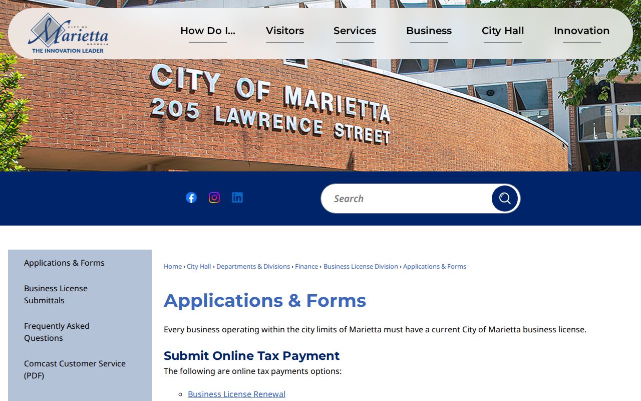
View the city's business-registration resources used as supporting address evidence for ZIP areas.
Marietta Addresses With Other Cities
A city address can carry a neighboring postal label. The strongest example is a Ward 4B city election site on New Salem Road that uses Kennesaw 30152. City address points also contain edge values labeled Kennesaw 30144 and Smyrna 30080. Those records show why a name after the street line is not a legal boundary.
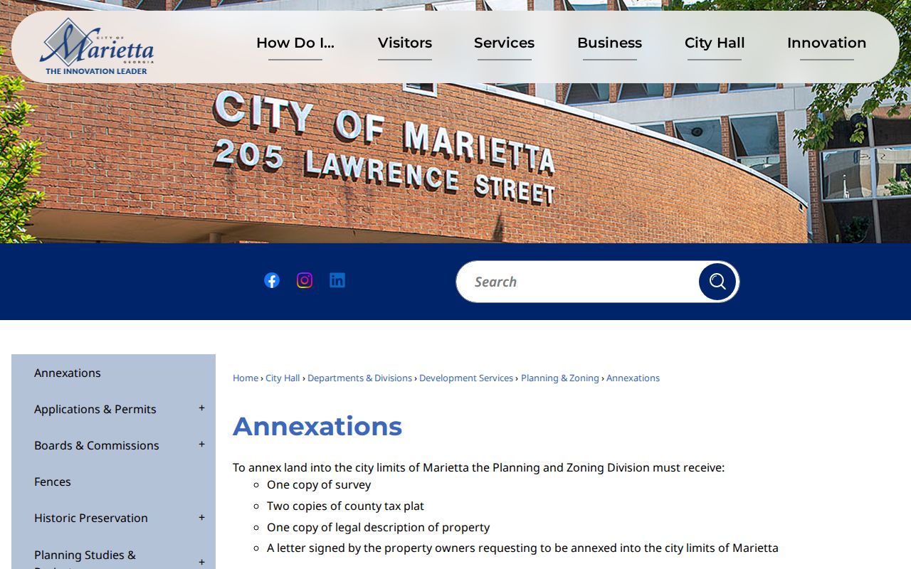
Annexation deepens the split. An owner-request application requires a survey, two county tax plats, a legal description, and the owner's signed request. Jurisdiction can change without a matching change to the preferred postal city. The Marietta annexation record page shows that legal process.
Find Marietta Residents by ZIP
No verified official portal in the research offers a simple public browse of all residents within one Marietta ZIP code. USPS verifies mailing information for an address. The city tool verifies jurisdiction. Cobb's basic GIS box explicitly tells users not to enter city, state, or ZIP, so it cannot serve as a ZIP-wide resident list. Use the ZIP code directory to narrow geography, then move to a record built for the actual question.
- Enter the complete address in the USPS ZIP Code Lookup. Record the standardized mailing city and ZIP.
- Enter the address in the Marietta city property tool. Check the city-limit result, parcel, and Marietta City Schools assignment.
- Use Cobb parcel or public records with the normalized address, owner name, or parcel ID. Do not assume a mailing match proves occupancy.
- When a lawful voter-file extract is needed, order the relevant official file and follow Georgia's use restrictions. My Voter Page is for individual verification, not an open ZIP browse.
Once the postal area has narrowed to a road, the Marietta street directory carries the search down to the address and parcel level. Legal descriptions and parcel IDs are stronger bridges than ZIP text because they survive postal changes.
Verify Marietta in Two Systems
The two-system check is the core of a reliable ZIP code directory. USPS answers where mail should go. Marietta GIS answers whether city government serves the property as an incorporated address. Neither result substitutes for the other.
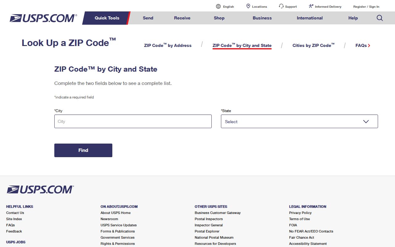
Start at the official USPS city and state lookup.
Then open the Marietta property and city-limit tool.
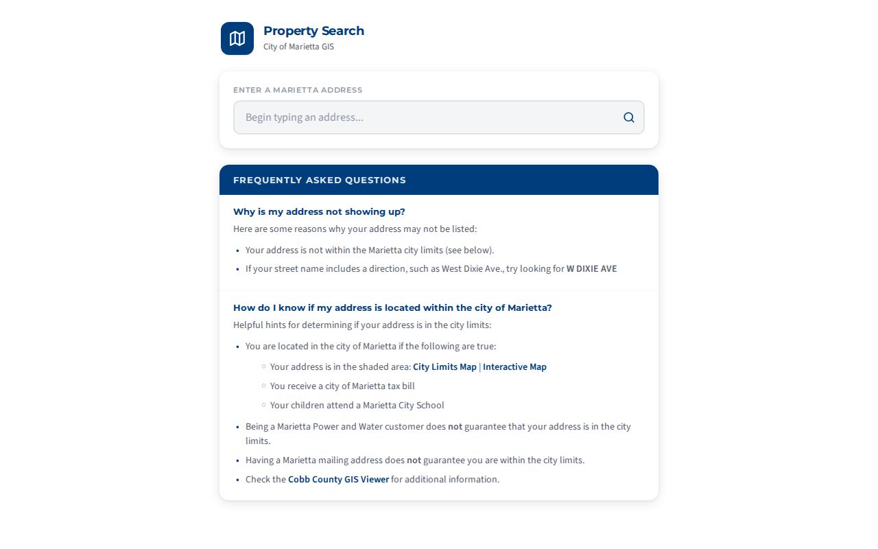
The city data updates nightly and uses address autocomplete. Directional formatting may matter, including forms such as W DIXIE AVE. Keep the literal indexed spelling as well as a normalized version when a first attempt fails.
Normalize Marietta ZIP Addresses
Marietta's permit system offers a practical address tip. If a property will not verify, enter the street number and only the first four letters of the street. Leave out the prefix, suffix, and unit, confirm city, state, and ZIP, press Search, choose the dropdown match, then confirm it. This method is for matching the city's permit address, not for searching every resident in the ZIP.
The official building-permit guidance shows the city's current online process.
Marietta ZIP and City Boundaries
A Marietta mailing address and even Marietta Power and Water service do not guarantee that a parcel lies inside the city. Positive city clues include placement in the shaded city-limit map, a city tax bill, and assignment to Marietta City Schools. An "Unincorporated Cobb" tax district is strong evidence that the parcel is outside a municipality despite its Marietta postal line.
This mismatch changes which office should receive a records request. City permits, municipal court files, and City Clerk materials depend on city jurisdiction. Cobb property, deed, and county-court sources follow county custody. Verify the boundary before asking an office to search.
- ZIP vs ZIP+4
- A ZIP routes mail to a broad delivery area. The extra four digits narrow it to a smaller delivery segment.
- PO-box ZIP
- A code used for Post Office Box mail rather than a normal street-delivery area.
- Unique ZIP
- A code assigned to one high-volume organization. No unverified unique Marietta code is asserted here.
- Carrier route
- A postal delivery path within a ZIP. It is not the same as a neighborhood or city boundary.
Boundary check. Confirm the mailing ZIP with USPS and city status with Marietta GIS before treating any record as city evidence.